ZondMT2D
ZondMT2D software is designed for two-dimensional interpretation of magnetotelluric (MT) data in MT, AudioМТ and RadioMT frequencies range(Land, underwater and airborne surveys).
This group of electroprospecting methods is based on studying of the natural variable electromagnetic field, allows to study distribution of the Earth conductivity on depths from the first meters to many tens and hundreds kilometers. Investigating of distribution of resistivity with depth possible due to the phenomenon of skin-effect which defines the depth of electromagnetic field penetration vs frequency. Thus, MT curves reflect change of resistivity vs depth.
Comfortable interface and wide possibilities of data presentation allow to solve given geological problem with maximum effectiveness. While developing software special attention was paid to comfort and simplicity of its use, variety of visualization features and account of a priori data.
Depending on the interpreter’s choice, software gives different variants of data interpretation algorithms. Comfortable control system allows to choose from the great number of equivalents results that will appear to be the best in geophysical and geological point of view.
ZondMT2D represents ready solution for magnetotelluric soundings, and solves wide range of problems from mathematical modeling and sensitivity analysis to field data processing and interpretation. Convenient interface and variety of data visualization features allow to solve wide range of geological problems with maximum effectiveness.
ZondMT2D uses simple and clear text format of data allowing to combine easily various systems of observation, including information on topography and other additional information. Also well-known formats of the data (Mackie, Rebocc, EDI, J, USF) are supported.
Important stage which prevents field measurement is mathematical modeling of geoelectric structure of work site. Modeling gives a chance to estimate the frequencies range and to make a choice of optimum parameters of the observation system for decision of formulated geological problem. ZondMT2D has great range of tools for mathematical modeling and analysis of TM/TE natural electromagnetic fields. IP modelling is also available in software.
Software allows to invert data of magnetic TM and electric TE polarization separately or together with or without tipper; to set relative weight for polarizations, to apparent resistivity and phase; invert data using apparent resistivity and phase, or imaginary and real component of impedance; invert data and P-shift(static) of apparent resistivity. There are three ways for static shift correction: automatic, manual and with using TDEM or VES data.

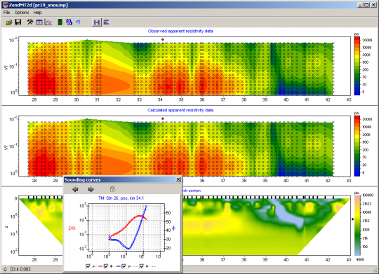
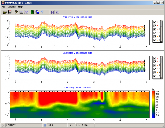
 Main processing window

Polar diagrams window

Result of fast filtration procedure
As the general task of the program is inversion of geoelectric parameters, some variants of inverse problem are designed in ZondMT2d, basic of them are: smoothing inversion – to get smooth model and focusing — to get piece-smoothed model of geoelectric parameters with depth.

A lot of options for joint inversion and modelling with other geophysical methods are available in software. ZondMT2d provides next kind of joint inversion: with refraction seismic, gravity, magnetic, TDEM and VES data.


