ZondGM2D
ZondGM2D new software for 2D gravity and magnetic survey combines the features of two predecessors ZondMag2D and ZondPGM. The program is designed for two-dimensional multiprofile interpretation of gravity and magnetic land/boreholes/aero data.
ZondGM2d is a ready solution for the interpretation of gravity and magnetic survey data, and presents a wide spectrum of tools from mathematical modeling to the interpretation of field data. User-friendly interface and wide possibilities of visualization is the key for effective solving of geological tasks.
Unlike predecessors, ZondGM2D offers three types of models:
Model is split by regular mesh of cells
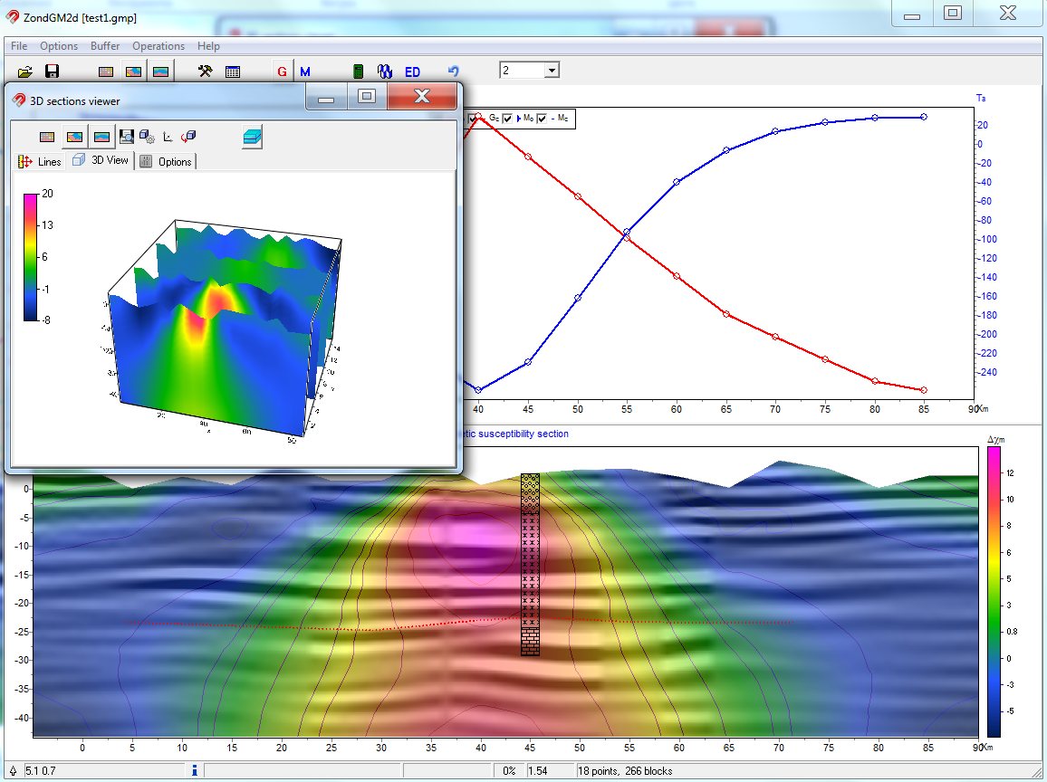
This type is most useful for solving the inverse problem (automatic density or magnetic susceptibility recovery). Inversion results is a good start choice for further geological and geophysical interpretation. A number of inversion algorithms are realized in software, most important are smooth and focused inversion – to get a smooth or piecewise smooth distribution of geophysical parameters.
Model is presented as set of polygonal bodies
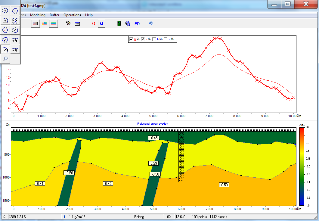
Polygonal variant of gravimagnetic section construction that gives more structural approach to data interpretation. At this scheme two-dimensional section consist of series of bodies with arbitrary geometries and specified density and magnetic susceptibility. Due to convenient and intuitively clear interface ZondGM2D allows to quickly creating any level of complexity models. The solution of the inverse problem for polygonal version of model presents automatic recovering petrophysical parameters and bodies geometry. Joint inversion of gravity and magnetic survey data is able for this case. Remanent magnetization modeling is available in this mode.
Arbitrary layered model
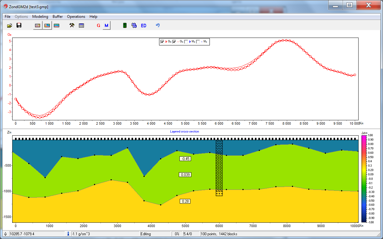
This type of model is useful for regions with layered geology. ZondGM2D solves forward and inverse problem for density and magnetic susceptibility, as well as for geometry of the boundary layers. Joint inversion of gravity and magnetic survey data is able for this case.
Calculations are made taking into account geomagnetic parameters of the study area, such as the declination and inclination of the magnetic induction vector, the value of the normal field, the magnetic susceptibility of the host rocks, the topography.
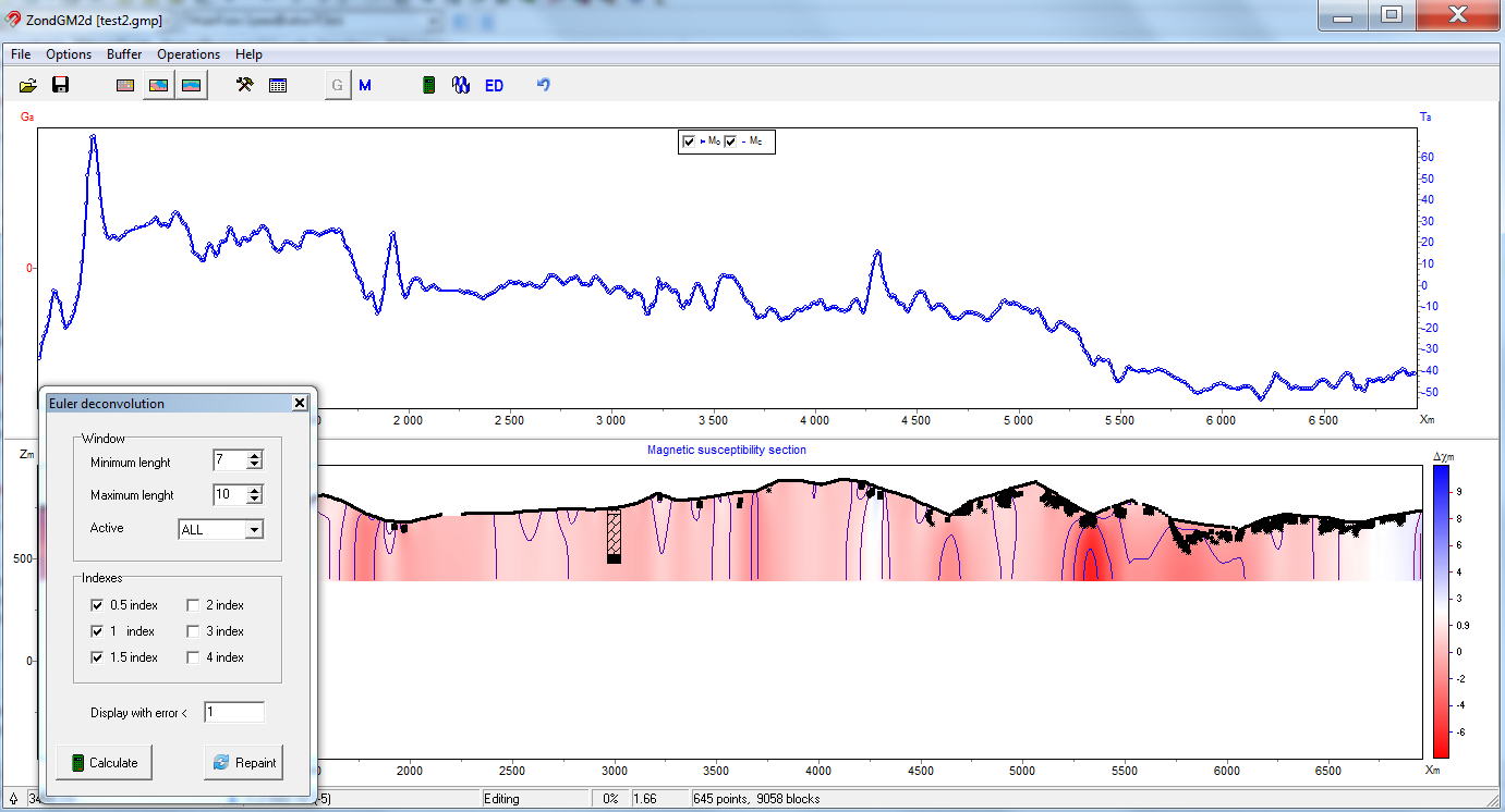
In addition to these algorithms, ZondGM2D presents classic version of the Euler deconvolution, which allows to get distribution of the simplest types of gravitational and magnetic sources. Software works with any components of gravity and magnetic fields and do transformations.
Next transformation are able in ZondGM2D.
- Calculation of the vertical and horizontal derivatives
- Reduction of the magnetic field to pole
- Upwarding and suppression effect of topography
- Robust downwarding


